Quick answer: Aerial survey has the lowest published hiring minimums of any hour-building pathway — commonly in the 250 to 600 hour range, with a median around 325 where operators state a figure. In exchange you fly long, precisely flown straight lines for hours at a time, live out of a suitcase for weeks, and wait out weather you cannot fly through. It is one of the fastest ways to accumulate hours if you can tolerate the lifestyle, and one of the least discussed because so few operators exist.
There are only around two dozen survey operators of any size in the United States. The constraint is not your qualifications — it is that the seats are scarce and hiring is seasonal.
What Survey Flying Actually Is
A survey aircraft is a sensor platform. The camera, LiDAR unit or geophysical sensor sits in a port in the floor, and your job is to fly the aircraft along pre-planned lines so precisely that the data overlaps correctly.
In practice that means holding an assigned altitude, heading and airspeed to tight tolerances, flying a line that may be many miles long, turning around, and flying the adjacent line in the opposite direction. Then doing it again. A survey block can take days to complete.
Modern operations are heavily GPS-guided, with a flight management display showing your deviation from the planned line. The skill is not navigation — it is sustained precision and concentration, hour after hour, without the stimulation that keeps most flying interesting.
Common work types
- Photogrammetry and mapping — imagery for mapping, municipal planning and GIS.
- LiDAR — laser terrain and vegetation modelling, often for infrastructure and flood mapping.
- Geophysical survey — magnetic or electromagnetic sensing for resources, often flown very low and slow.
- Orthoimagery and corridor mapping — along roads, railways and utility routes.
Why the Minimums Are Low
Two reasons, and understanding them helps you pitch yourself properly.
First, the flying is procedurally simple but attentionally demanding. There is no passenger handling, no complex ATC environment much of the time, and no unfamiliar airport every leg. What it requires is discipline, and discipline is not strictly a function of total time.
Second, and more bluntly: the lifestyle filters people out. Operators are competing for pilots willing to spend months away from home in unremarkable places, so they set the experience bar where they can actually fill the seat.
Which means your willingness to travel is a genuine qualification. Say so plainly in your application.
The Season, and Why It Governs Everything
This is the part most applicants miss. Aerial photography generally requires the sun high enough in the sky to avoid long shadows obscuring detail, and clear conditions with minimal haze. That constrains flying to a window around the middle of the day, and to certain months of the year.
Consequences worth planning around:
- Hiring happens before the season, typically over winter and early spring for a spring-to-autumn flying season. Applying in July is usually too late.
- Leaf-off work for some LiDAR applications happens in late autumn and winter, so some operators fly a different calendar.
- Weather days are frequent. You will sit in a hotel waiting for cloud to clear, sometimes for days.
- When it is good, you fly hard. Hours accumulate quickly during a clear stretch, which is precisely why the pathway builds time fast.
Aircraft and What You Will Log
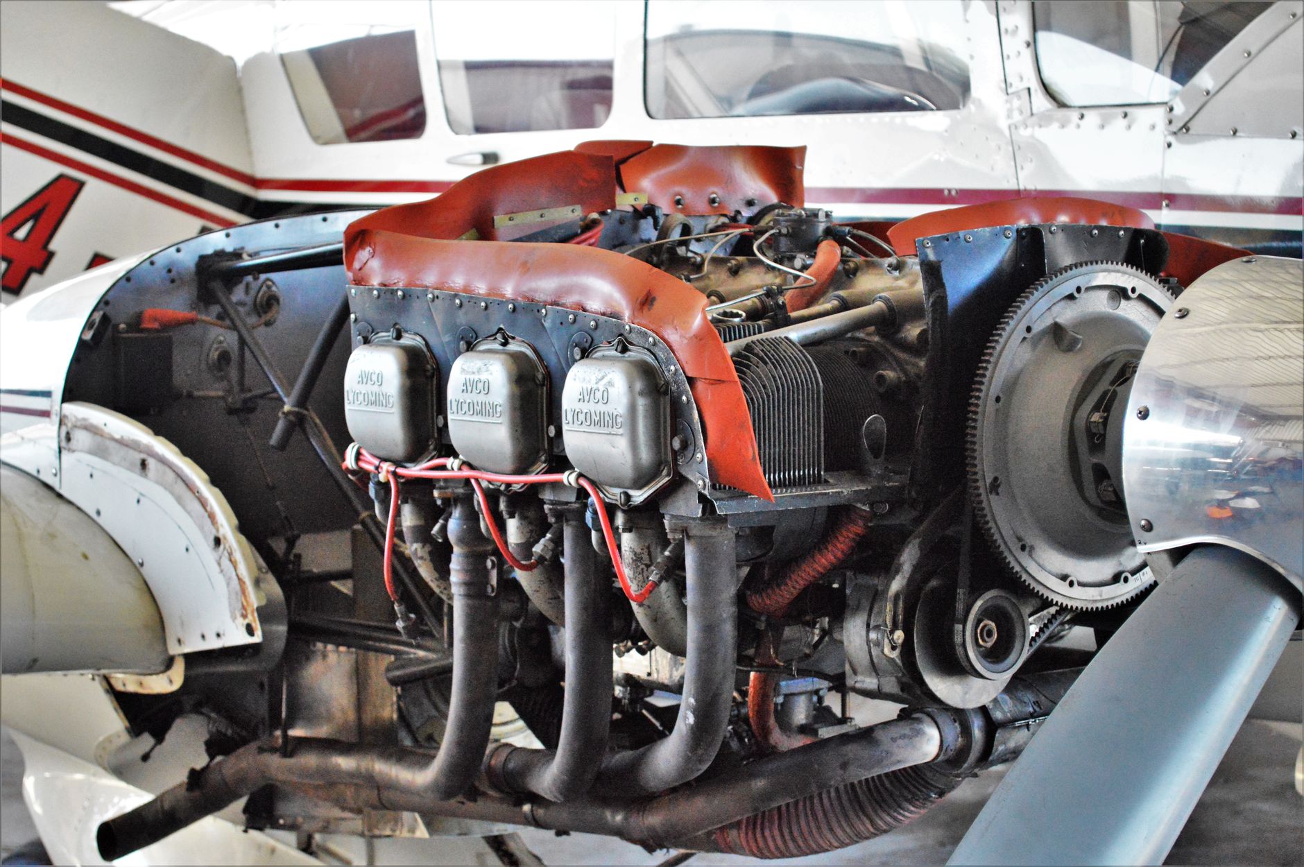
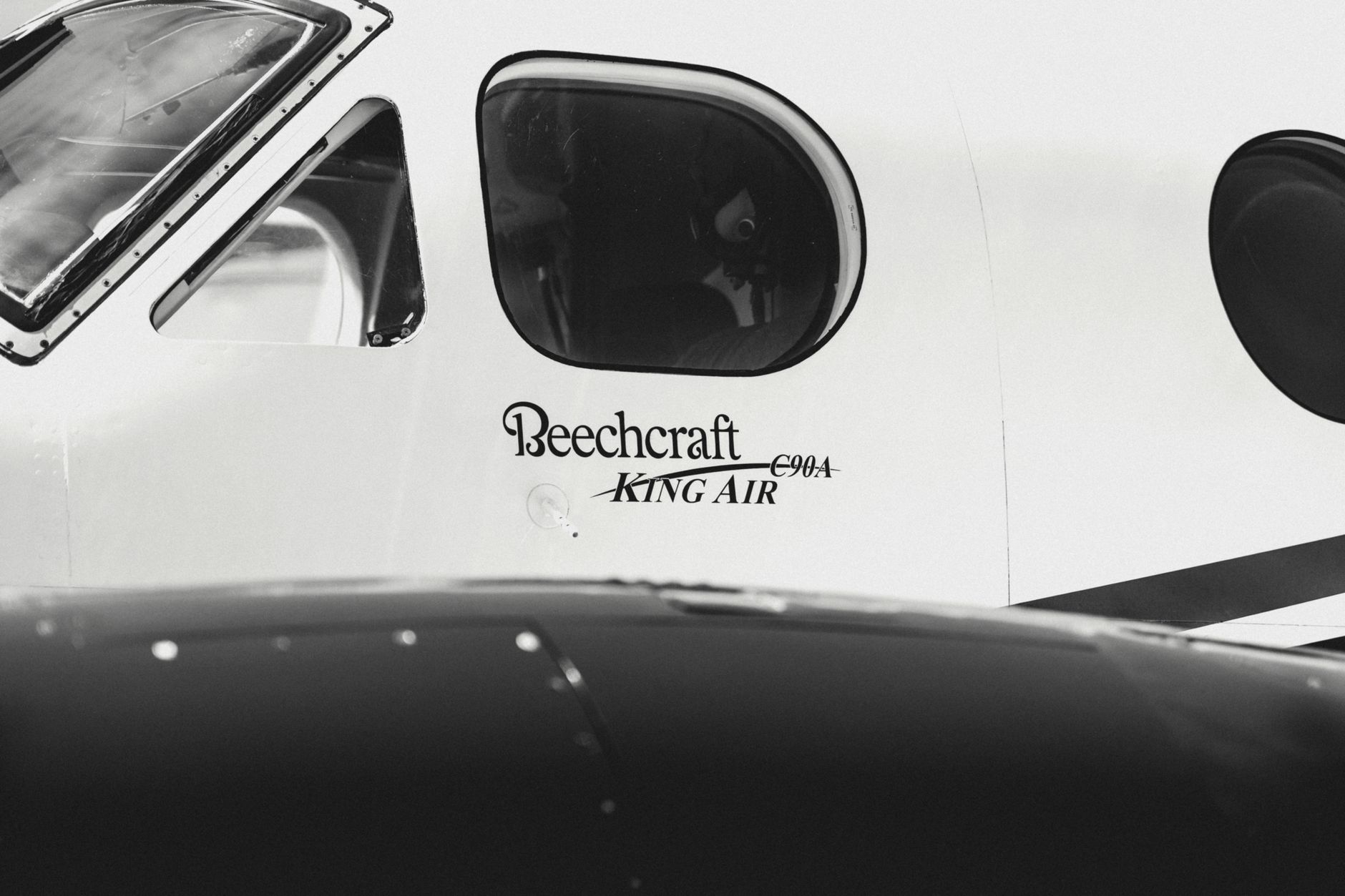
Survey fleets are typically light singles and light twins — the aircraft need endurance, stable handling and a sensor port more than speed. Many operators fly Cessna singles; others run piston twins on longer-range or higher-altitude work.
That twin question matters for your career. Most hour-building work is single-engine, and multi-engine time is what many next-step employers actually want. If an operator flies twins and puts low-time pilots in them, that changes the value of the job considerably. Ask directly during the interview.
Expect a commercial certificate as the baseline requirement, and an instrument rating in most cases — you will be repositioning cross-country in real weather even if the survey lines themselves are flown VFR.
The Honest Downsides
- It is repetitive. Straight lines, for hours. Pilots who need variety struggle.
- You will live on the road. Weeks or months at a time, often in small towns near the survey block.
- Weather waits are unpaid or partly paid depending on the operator. Ask exactly how standby time is compensated before accepting.
- Concentration fatigue is real. Holding tight tolerances for hours is more tiring than it sounds, and complacency is the main hazard.
- Some work is low-level. Geophysical survey in particular can be flown very low, which changes the risk profile substantially.
How to Get Hired
- Apply in winter for the coming season. Being early matters more than being highly qualified.
- Lead with availability. State clearly that you will travel, relocate, and stay out for extended periods. This is what they are actually screening for.
- Get the instrument rating if you do not have it. It is frequently the difference between qualifying and not.
- Emphasise precision flying. Instrument proficiency and disciplined altitude and heading control are the relevant skills — mention them specifically.
- Call the operator. These are small companies; a professional phone call gets further than a form.
- Ask about the aircraft, the compensation structure, and standby pay before accepting. Ask whether there is any route into the twin.
Is It Worth It?
If your goal is to accumulate hours quickly at low total time, survey flying is arguably the most efficient route available — you can fly a great deal in a good season, and the entry bar is genuinely lower than anywhere else.
If you need stability, routine, or to be home each night, it is the wrong job. The pilots who thrive in it treat it as a deliberate one or two season sprint to reach the next qualification, not a career destination.
For how it compares against the alternatives, see our overview of hour-building pathways.
Frequently Asked Questions
How many hours do you need to be an aerial survey pilot? Published minimums commonly fall between 250 and 600 hours, with a median around 325 where operators state a figure — the lowest of any hour-building pathway. A commercial certificate is the baseline and an instrument rating is usually expected.
What does an aerial survey pilot actually do? Fly pre-planned straight lines at a precisely held altitude, heading and airspeed so that sensor data — photography, LiDAR or geophysical readings — overlaps correctly. Lines can run many miles, and a survey block may take days to complete.
Is aerial survey a good way to build flight hours? Yes, in a good season it is one of the fastest available, because flying days are long and intensive. The trade-offs are extensive travel, repetitive flying, and weather days spent waiting on the ground.
When should I apply for aerial survey jobs? Over winter and early spring for a spring-to-autumn season. Hiring happens ahead of the flying season, so applying mid-season is usually too late. Some LiDAR work runs a leaf-off winter calendar instead.
Do aerial survey pilots build multi-engine time? Some do. Fleets are a mix of light singles and light twins depending on the operator and the work. Since most hour-building jobs are single-engine and multi time is what many later employers want, it is worth asking directly whether the operator flies twins and whether low-time pilots fly them.
This article is general career information. Hiring requirements, compensation and operating practices vary considerably between operators and change over time — confirm details directly with the employer.